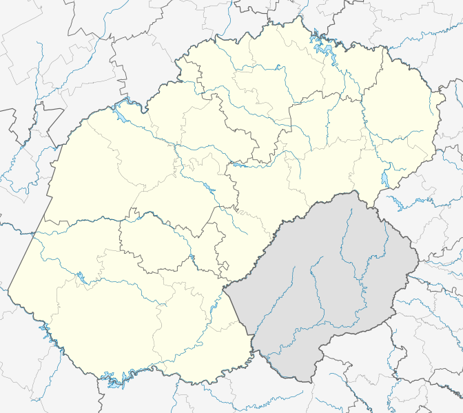
Archivo:South Africa Free State location map.svg
Apariencia

Tamaño de esta previsualización PNG del archivo SVG: 672 × 599 píxeles. Otras resoluciones: 269 × 240 píxeles · 538 × 480 píxeles · 861 × 768 píxeles · 1148 × 1024 píxeles · 2296 × 2048 píxeles · 1130 × 1008 píxeles.
Ver la imagen en su resolución original ((Imagen SVG, nominalmente 1130 × 1008 pixels, tamaño de archivo: 286 kB))
Historial del archivo
Haz clic sobre una fecha y hora para ver el archivo tal como apareció en ese momento.
| Fecha y hora | Miniatura | Dimensiones | Usuario | Comentario | |
|---|---|---|---|---|---|
| actual | 23:54 5 ene 2013 |  | 1130 × 1008 (286 kB) | Htonl | == {{int:filedesc}} == {{Information |Description ={{en|Location map of the en:Free State Equirectangular projection, N/S stretching 114%. Geographic limits of the map: * N: 26.5° S * S: 31° S * W: 24.25° E * E: 30° E}} |Source = *... |
Usos del archivo
Las siguientes páginas usan este archivo:
Uso global del archivo
Las wikis siguientes utilizan este archivo:
- Uso en af.wikipedia.org
- Bloemfontein
- Kroonstad
- Sasolburg
- Welkom
- Parys, Vrystaat
- Philippolis
- Bultfontein
- Trompsburg
- Rouxville
- Bethulie
- Bethlehem, Vrystaat
- Clarens, Vrystaat
- Fouriesburg
- Paul Roux
- Reitz
- Senekal
- Harrismith
- Kestell
- Lindley
- Wepener
- Golden Gate-Hoogland- Nasionale Park
- Clocolan
- Marquard
- Vrede, Vrystaat
- Memel, Vrystaat
- Arlington, Vrystaat
- Petrus Steyn
- Frankfort
- Villiers
- Cornelia
- Phuthaditjhaba
- Warden
- Ladybrand
- Ficksburg
- Rosendal
- Swinburne
- Tweeling, Vrystaat
- Zastron
- Excelsior, Vrystaat
- Hoopstad
- Sjabloon:Inligtingskas Nedersetting
- Jacobsdal
- Verkeerdevlei
- Winburg
- Botshabelo
- Vredefort
- Bothaville
- Jagersfontein
- Brandfort
- Koffiefontein
Ver más uso global de este archivo.
